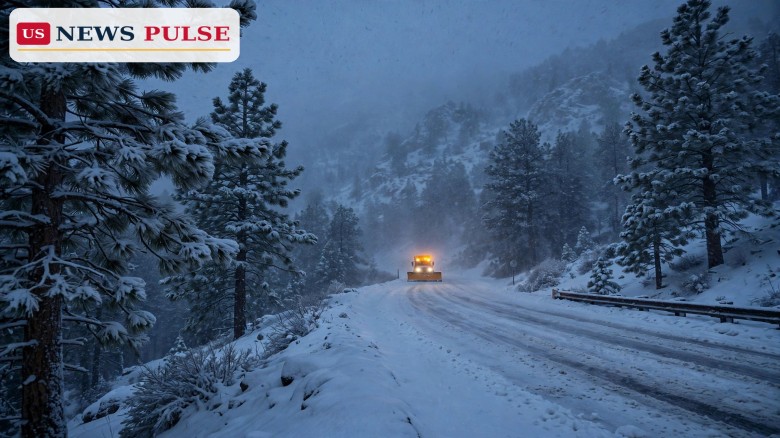
Winter is arriving right on schedule across the American West this weekend, with the National Weather Service issuing winter weather advisories for parts of Idaho, California and Colorado as snow spreads through the mountains and a much larger cross-country storm gathers behind it. The winter snow weekend brings up to 10 inches of snow to many high-elevation areas, as much as 18 inches to the highest peaks of California's Sierra Nevada, and gusty winds that will make mountain travel slick and, at times, difficult through Sunday and into Monday.
The National Weather Service office in Pocatello, Idaho, placed the Sun Valley region under a winter weather advisory covering the Big Lost Highlands and the Copper Basin, including Ketchum, Sun Valley, Galena and Galena Pass. The advisory runs from 6 p.m. MDT on Saturday, October 31, to 5 p.m. MST on Sunday, November 1 — a window that itself takes in the overnight switch back to standard time. Forecasters expect 4 to 10 inches of snow above 7,000 feet, with higher amounts possible above pass level, and winds gusting as high as 35 mph. The Weather Service warned drivers to “plan on slippery road conditions” and pointed them to 511.idaho.gov or a call to 511 for the latest road reports.
In California, the Weather Service office in Sacramento issued its own set of winter weather advisories for the Sierra Nevada, running from Saturday morning into early Sunday. Forecasters called for up to 10 inches of snow above 7,000 feet, with as much as 18 inches on the highest peaks, and specifically mentioned Interstate 80 and Highway 50, two of the main routes over the range. Early snow in the mountains is normal for this time of year, forecasters noted, but some areas could pick up close to a foot of snow before Sunday is over.
Colorado is next in line. A winter weather advisory for parts of the central mountains, including the resort areas of Aspen, Vail and Crested Butte, starts at noon on Sunday and runs through 6 p.m. MST on Monday, with 5 to 10 inches possible above 10,000 feet. Separately, the Weather Service office in Pueblo issued a winter storm watch for the eastern San Juan Mountains above 10,000 feet, warning of 8 to 14 inches of snow and winds gusting as high as 55 mph from Sunday afternoon through Monday morning, with travel likely to become very difficult, especially on Sunday night and Monday morning, and blowing and drifting snow possible.
The weekend snow is the leading edge of a far larger and messier pattern. According to Fox Weather and National Weather Service outlooks reported on Friday, a major cross-country storm is expected to bring a mix of heavy rain, thunderstorms and accumulating snow to more than 35 states over the coming week, tied to an increasingly active El Niño pattern. The system is expected to move across the country over several days, soaking some areas while others prepare for a much colder change.
The Southwest is first in line. Parts of Arizona could pick up 1 to 2 inches of rain or more through Monday morning, November 2, with some locations potentially receiving considerably higher totals, and the corridor from Phoenix to Flagstaff could receive up to five inches of rain through the early part of next week. The Weather Prediction Center has issued a Level 3 out of 4 risk for excessive rainfall across parts of south-west Colorado, north-west New Mexico and south-east Utah — the same Four Corners region that is already saturated after days of heavy rain and is under a moderate risk of excessive rainfall for Sunday, November 1.
By Monday, the storm begins pushing into the Plains and Midwest, spreading rain farther east. Heavy downpours could create additional flooding concerns, with nearly 40 million people facing a Level 1 out of 4 flash-flood threat stretching from Texas to Wisconsin. As the system continues eastward, additional rain is possible across the eastern United States later in the week, including parts of the Interstate 95 corridor.
For mountain travellers, the message this weekend is consistent across all three states: snow will stick mainly to the higher ground, but the passes are where the trouble will be. In Idaho, the advisory's 4-to-10-inch range applies above 7,000 feet, with higher amounts above pass level. In the Sierra, the heaviest snow is reserved for the highest peaks, but Interstate 80 and Highway 50 are explicitly named in the advisory, meaning chain controls and delays are a real possibility. In Colorado, the central-mountain advisory applies above 10,000 feet, while the San Juan watch warns of blowing and drifting snow driven by gusts to 55 mph.
The timing matters too. The Idaho advisory spans the return to standard time overnight Saturday into Sunday, so drivers should double-check departure times and road conditions rather than relying on habit. In Colorado, the worst travel is expected on Sunday night and Monday morning, when the San Juan snow combines with the central-mountain advisory. Anyone heading into the high country should carry winter supplies, check state road-condition lines before leaving, and be ready to delay travel if conditions deteriorate.
The National Weather Service's guidance has been blunt throughout. In Idaho, forecasters told drivers to “plan on slippery road conditions” and directed them to 511.idaho.gov or a call to 511 for updates. In Colorado, the Pueblo office warned that “travel could be very difficult, especially Sunday night and Monday morning” and urged people to monitor the latest forecasts. The Fox Forecast Center, looking ahead to the larger storm, said the amount of atmospheric instability would determine just how widespread and intense the severe weather becomes.
No major storm is in the Halloween forecast for Saturday itself for most of the country, Weather.com meteorologist Jonathan Erdman noted in an online forecast, saying Halloween weather would be “wet in some parts of the country, but looks either warm or dry for most others.” The weekend snow is a mountain story first, and a national story second — until the bigger system arrives next week.
This weekend's snow matters for three reasons. First, it is the first significant high-elevation snow of the season for many resort communities, and how it is handled — road treatments, pass closures, early-season ski operations — sets the tone for the winter ahead. Second, it arrives on a holiday weekend when many people are travelling, and on the weekend before a national election, when millions of voters will be moving around their states. Third, it is a preview: the same system that drops snow on the Sierra and the Rockies this weekend will, by next week, be delivering rain and severe weather to tens of millions of people farther east.
The saturated ground in the Southwest adds a further risk. The Four Corners region has already endured days of heavy rain, and the Weather Prediction Center's Level 3 excessive-rainfall risk for Sunday reflects ground that cannot absorb much more. In that context, even a few extra inches of rain can turn into flash flooding, and the same moisture that falls as snow at altitude falls as rain in the valleys below.
Election Day itself could bring the most active weather of the week for parts of the South. Warm, moisture-filled air colliding with an advancing cold front could support thunderstorms from Texas into portions of the South-east, and a Level 2 out of 5 severe-weather risk currently covers Kansas, Oklahoma and northern Texas, including Oklahoma City and Wichita. Voters heading to the polls on Tuesday, November 3, should check local forecasts and allow extra time, particularly in the southern Plains.
Beyond Election Day, the storm continues eastward, with additional rain possible across the eastern United States later in the week, including the Interstate 95 corridor. Forecasters caution that the details — exactly where the heaviest rain falls, and how far south the snow line reaches — will sharpen as the storm approaches. For now, the weekend advice stands: if you are heading into the mountains of Idaho, California or Colorado, expect snow, expect slick roads, and check conditions before you go.
How much snow is expected this weekend? Generally 4 to 10 inches above 7,000 feet in Idaho and above 10,000 feet in Colorado's central mountains, up to 10 inches above 7,000 feet in the Sierra Nevada, up to 18 inches on the Sierra's highest peaks, and 8 to 14 inches in Colorado's eastern San Juan Mountains.
Which roads are affected? The Sierra advisories specifically mention Interstate 80 and Highway 50. Idaho drivers are directed to 511.idaho.gov or 511 for road reports, and Colorado's San Juan watch warns of very difficult travel Sunday night into Monday morning.
Is there a bigger storm coming? Yes. A cross-country storm next week could affect more than 35 states with rain, thunderstorms and snow, with a Level 2 severe-weather risk for Kansas, Oklahoma and northern Texas on Election Day.
Does this affect Election Day voting? Possibly, in the southern Plains and South-east, where thunderstorms are possible on Tuesday, November 3. Voters there should check local forecasts and allow extra travel time.
Where can I check the latest conditions? Your local National Weather Service office forecast, your state department of transportation road-condition line (511 in Idaho), and the Weather Prediction Center's excessive-rainfall outlooks.
Read more: Trump's Daytona rally: hecklers ejected, De Niro attacked in final Florida push
Leave a Comment



 | Today's Date: